The Search for Noah’s Ark: Current Evidence on the Durupinar Site

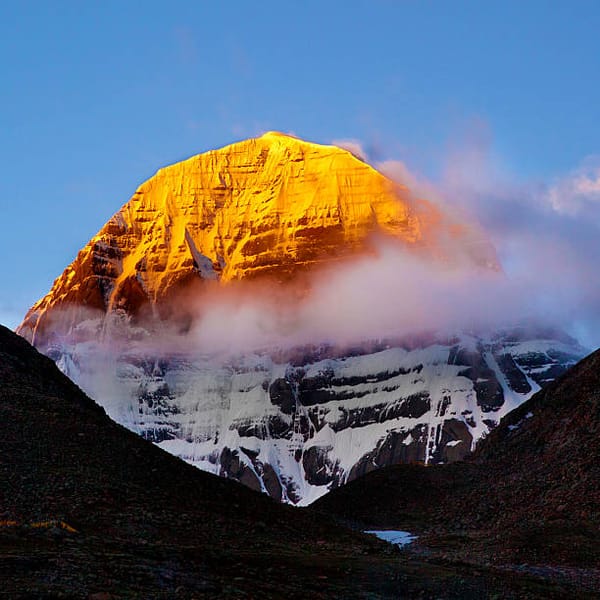
The Durupinar formation, located in eastern Turkey near Mount Ararat, has long been associated with the biblical account of Noah’s Ark. The structure measures approximately 515–538 feet (about 164 meters) in length, closely matching the biblical description of the Ark’s size—300 cubits, or roughly 150 meters, as described in Genesis[1][2][3][5][7]. This precise correspondence in dimensions is a key factor driving ongoing interest and research.


Photos show the biblical size of Noah's Ark and the Durupinar site measurements (noahsarkscans.com)
Recent Scientific Investigations
Advanced Geophysical Surveys
Recent years have seen a surge in scientific interest, particularly from the Noah’s Ark Scans project, an international team employing modern technologies such as ground-penetrating radar (GPR) and 3D imaging[1][3][5]. These scans have revealed:
- Angular, right-angled, and symmetrical structures up to 6 meters deep, including what appear to be corridors, rooms, and a layered, deck-like platform beneath the surface[3][5].
- A tunnel approximately 13 meters long and three distinct subsurface layers, which some interpret as matching the Ark’s three-deck structure described in the Bible[3][5].
Lead investigator Andrew Jones and his team argue that such geometric features are not typical of natural geological formations and may indicate intentional design[1][3][5].


1961 photo of the site by geologist John Morris (left) and recent photo taken by noahsarkscans.com (right).
Soil and Organic Material Analysis
Soil samples collected from within the formation have shown:
- Significantly higher concentrations of organic matter and potassium compared to surrounding soils, consistent with the decomposition of ancient wood or organic materials[3][5].
- The presence of marine deposits and remnants of sea life, such as mollusks, which have been dated to between 3,500 and 5,000 years ago—aligning with the biblical time frame of the flood[6][7].
William Crabtree, the project’s chief soil scientist, notes that these chemical signatures and soil characteristics are not what would be expected from undisturbed geological formations[3][5].
Botanical Evidence
Researchers observed that the vegetation growing directly over the formation differs in color from the surrounding area, suggesting a distinct substrate beneath the surface, possibly due to the presence of ancient organic material or a buried structure[3].
Historical and Archaeological Context
- The Durupinar site was first brought to attention in 1959 after aerial photographs revealed its ship-like shape[3].
- Archaeological teams from Turkish and American universities have found evidence of human activity in the region dating back to between 5500 and 3000 BC, which coincides with the period following the legendary flood[6][7].
- The site’s proximity to Mount Ararat, traditionally cited as the Ark’s resting place, further supports its candidacy as a location of interest for biblical archaeology[1][2][6][7].
Current Status and Future Research
While the findings are compelling, the research teams emphasize that more data and controlled excavations are needed to conclusively determine whether the formation is indeed the fossilized remains of Noah’s Ark or an extraordinary natural formation[3][5][7]. Plans for further geophysical surveys and core drilling are underway for 2025 and 2026[5].
Conclusion: Weighing the Evidence
- Size and Shape: The Durupinar formation’s dimensions and ship-like appearance closely match the biblical Ark’s description.
- Subsurface Features: GPR scans reveal geometric, room-like structures and multiple layers, which some interpret as consistent with a large, ancient vessel.
- Material Evidence: Elevated organic content, marine deposits, and potassium levels in the soil suggest the possible decomposition of wood or organic material from thousands of years ago.
- Archaeological Context: Evidence of human activity from the relevant time period has been documented in the area.
In summary:
Recent scientific studies at the Durupinar site have produced several lines of evidence—dimensional, geophysical, chemical, and archaeological—that are consistent with the hypothesis of a large, ancient, human-made structure buried beneath the surface. While the findings do not yet constitute definitive proof, they provide a strong basis for further investigation. The convergence of biblical dimensions, subsurface architectural features, and material anomalies suggest that the Durupinar formation remains one of the most promising candidates for the historical Noah’s Ark, pending more exhaustive research and direct excavation[1][3][5][6][7].
“This endeavor transcends mere archaeology. It involves employing scientific methods to delve into one of humanity’s oldest stories.” — Andrew Jones, lead investigator[5]
To learn more, you can refer to these resources:


Sources
[1] https://nypost.com/2025/05/13/science/noahs-ark-sites-fully-preserved-secrets-discovered-by-scientists/
[2] https://www.israelhayom.com/2021/10/04/archaeologists-claim-to-have-found-true-location-of-noahs-ark/
[3] https://www.jpost.com/archaeology/archaeology-around-the-world/article-854083
[4] https://www.youtube.com/watch?v=gkH9qTmHtmA
[5] https://www.yahoo.com/news/could-noah-ark-see-mysterious-141415857.html
[6] https://www.popularmechanics.com/science/archaeology/a45700571/was-noahs-ark-found/
[7] https://arkeonews.net/researchers-suggest-that-the-5000-year-old-boat-shaped-mound-may-be-fossilized-remains-of-noahs-ark/
[8] https://www.yahoo.com/news/noah-ark-researchers-claim-may-022427682.html
[9] https://nypost.com/2025/03/10/science/new-evidence-at-durupinar-formation-supports-myth-of-noahs-ark/
[10] https://www.paturkey.com/news/2025/archaeological-dig-begins-at-suspected-noahs-ark-site-in-turkiyes-mount-ararat-region-19772/
[11] https://noahsarkscans.com/3d-ground-penetrating-radar-gpr-at-unique-boat-shaped-site-in-turkey-excites-noahs-ark-researchers/
[12] https://noahsarkscans.com
[13] https://www.iflscience.com/noahs-ark-or-just-a-big-mound-us-researchers-eye-up-a-strange-ship-shaped-ridge-in-turkey-79200
[14] https://ncse.ngo/impossible-voyage-noahs-ark
[15] https://noahsarkscans.com/2025/04/are-excavations-happening-on-the-durupinar-boat-formation-this-year/
[16] https://www.youtube.com/watch?v=nRPoNq0WGAI
[17] https://www.youtube.com/watch?v=E4MGrwIWjOk